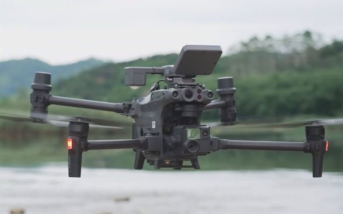
MF30 Drone Flow Meter for DJI Matrice 4 & M30
💧 Lightweight Flow Monitoring: The MF30 Drone Flow Meter is a compact drone payload for water flow measurement — including surface velocity sensing, reference water level detection, and dedicated flow measurement software. Enables rapid deployment for flood emergency response and routine water management inspections.
Product Overview
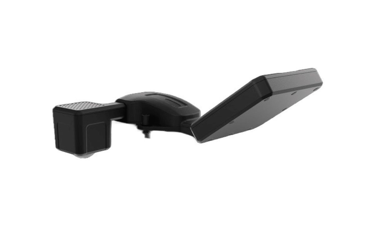
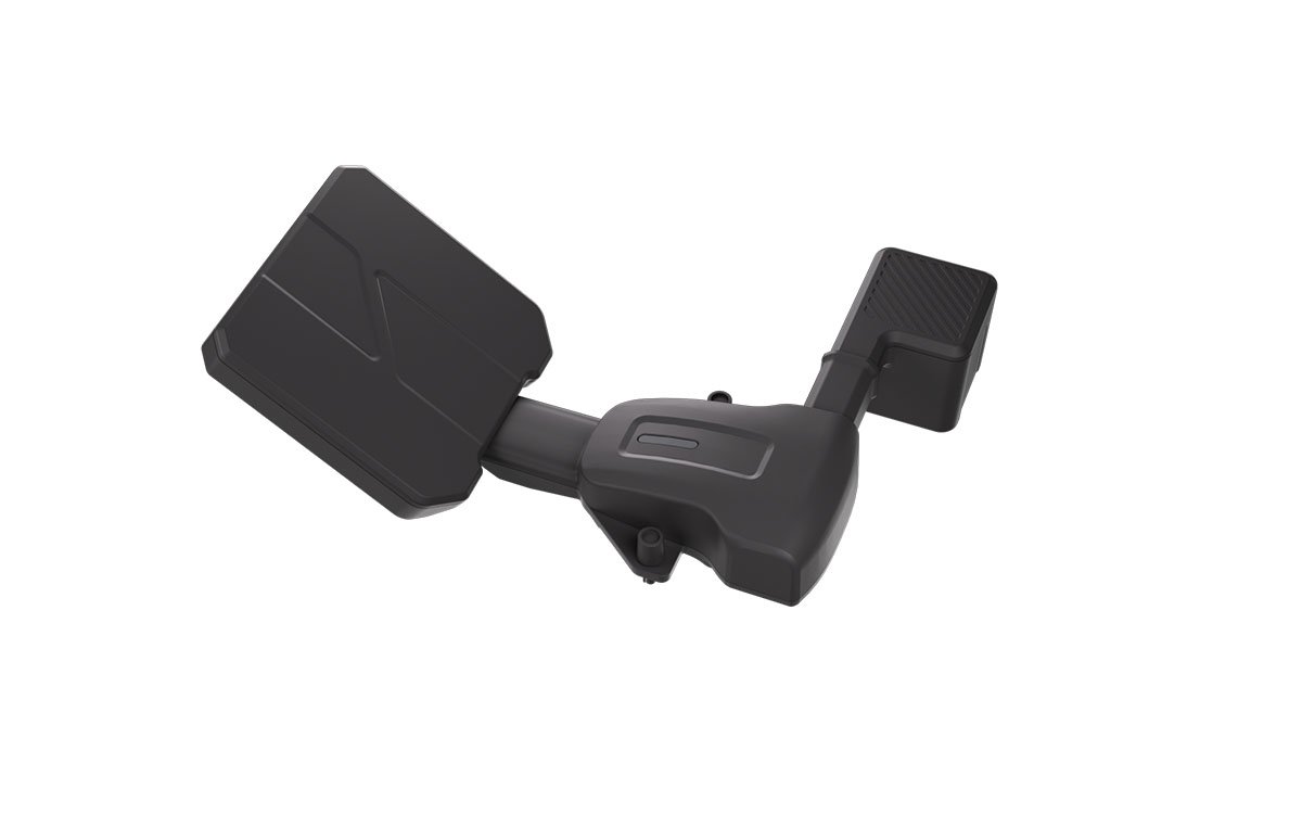
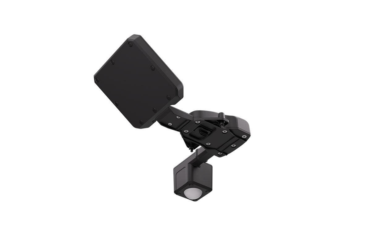
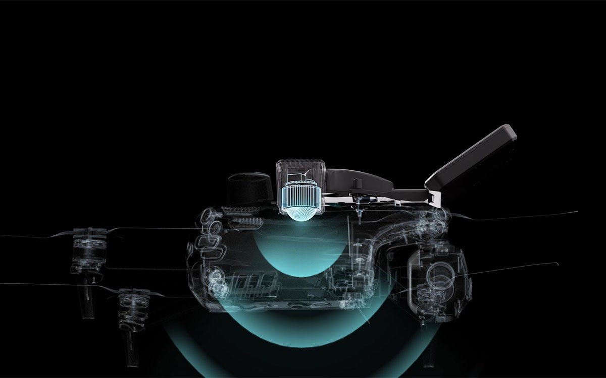
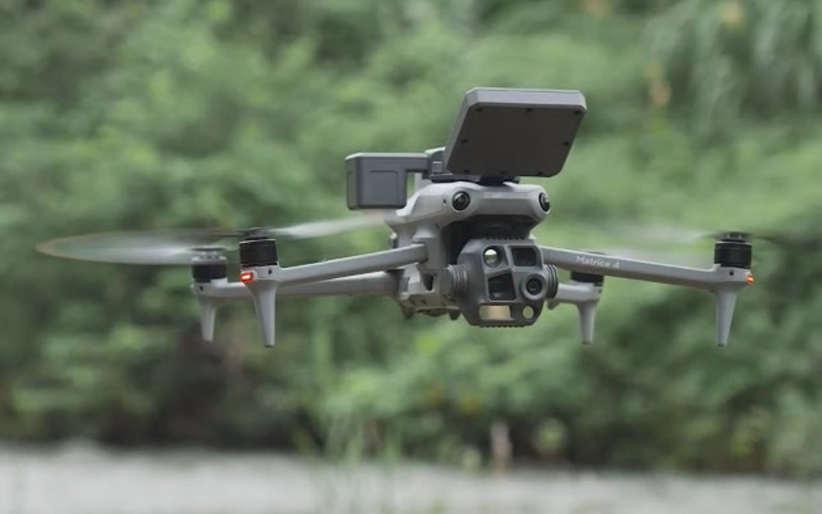
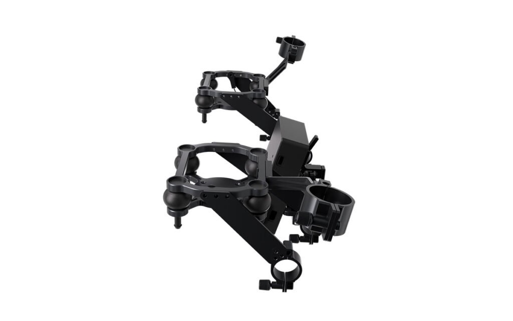
The MF30 Drone Flow Meter series is a specialized drone payload that revolutionizes hydrological data collection. By integrating radar level and velocity sensors into a single, compact unit, it allows operators to conduct comprehensive flow measurements from the air. This system replaces traditional, often dangerous or time-consuming ground-based methods, enabling rapid deployment for flood emergency response and efficient routine water management inspections. MF30 Drone Flow Meter is available in two variants: the MF30-M4 drone-based river flow measurement (≤180g) for the DJI Matrice 4 series, and the MF30-M30 (≤250g) for the DJI Matrice M30 series, ensuring optimal compatibility and flight performance.
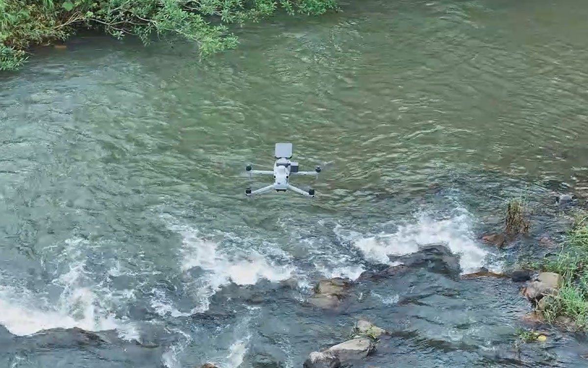
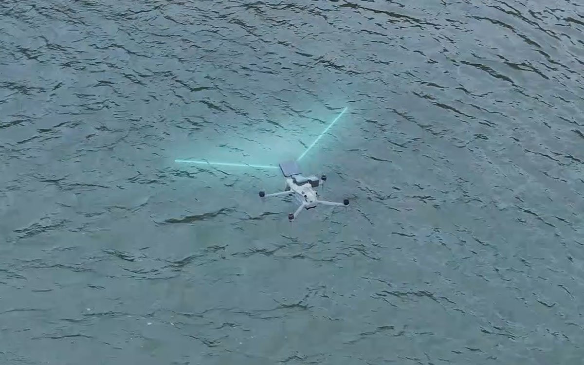
For environmental agencies and hydrological engineers, this system serves as a trusted radar surface velocity sensor drone. Its precise 24GHz radar enables comprehensive drone-based river flow measurement without the need for wading into dangerous currents. By pairing dual radar technologies, it acts as an accurate water level & velocity radar system, providing critical data for flood forecasting. Supported by the advanced CZI Pilot software, it functions as a complete real-time hydrological monitoring payload, offering visualized charts and cloud synchronization for smarter, data-driven decision-making.
Key Features
- Lightweight and Portable for Fast Deployment: Designed for small drones, this compact and portable payload allows flexible deployment. A single operator can complete setup within 2 minutes, enabling rapid flood reconnaissance and timely acquisition of critical flood information. The MF30 Drone Flow Meter weighs only 180g, while the MF30-M30 weighs 250g.
- Flow Pulses Clearly Visible: Integrates radar level and velocity sensors into a single unit. Real-time flow data is displayed on the remote controller with a high refresh rate and instant feedback, allowing operators to see flow pulses clearly as they occur.
- CZI Pilot All-in-One Flow Monitoring: Equipped with highly integrated, professional flow measurement software, CZI Pilot allows users to complete the entire process — from real-time monitoring and route planning to data processing, export, and flow calculation — directly on the drone controller.
- Manual Flight Measurement: Allows operators to manually pilot the drone to measure water flow velocity at specific points of interest. Flow velocity and water level data are stored in a tabular format on the remote controller for easy review and export.
- Cloud Data Synchronization: Flow measurement data syncs to the drone platform’s cloud, transforming the drone flow meter from an efficient data collection tool into a hydrological data management hub. Visualized charts provide data support to make informed decisions.
- Expert Knowledge Base: Developed in collaboration with universities to develop adaptive river flow algorithms that improve measurement accuracy. Supports:
- Water Level Algorithms: Flexible selection of reference benchmarks such as Pearl River or Wusong.
- Flow Calculation Methods: Supports multiple flow calculation formulas including Area-Velocity, International, and Liwen methods.
- Coefficient Calibration: Incorporates various coefficient factors (e.g., bank coefficient, surface coefficient) for enhanced accuracy.
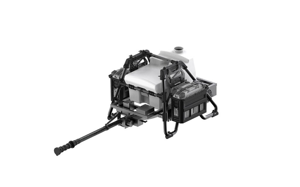
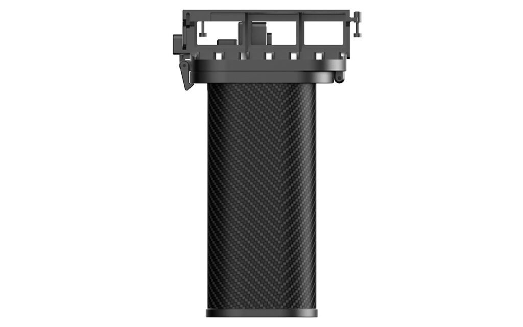
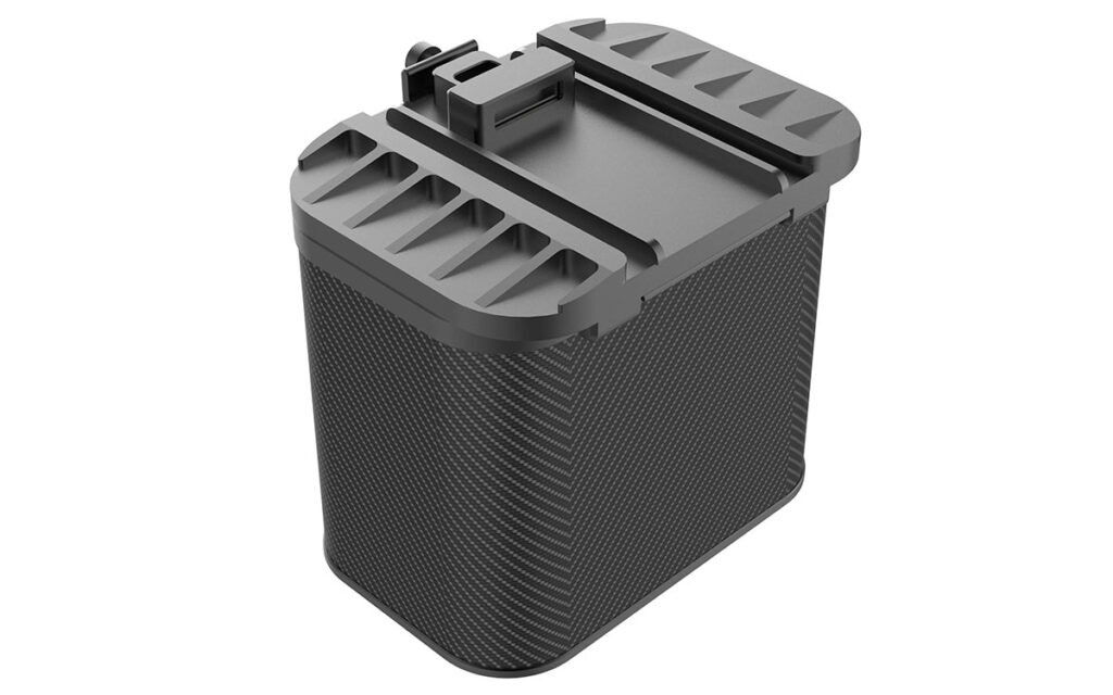
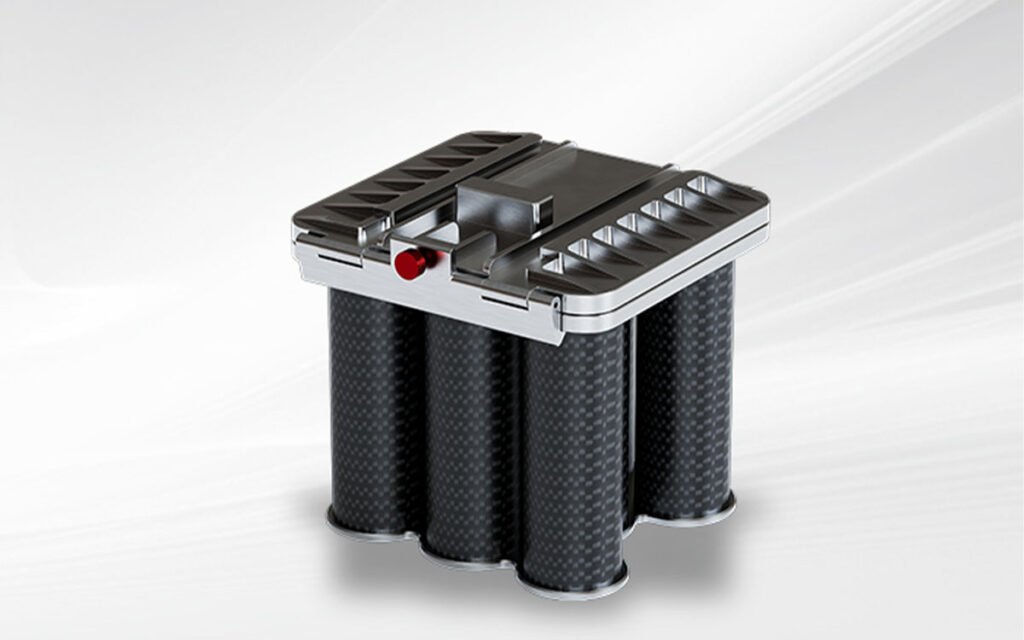
Product Display
Technical Specifications
| Model | MF30-M4 / MF30-M30 |
|---|---|
| Dimensions / mm | MF30-M4: 205mm*129mm*80mm MF30-M30: 205mm*152mm*83mm |
| Total Weight / g | MF30-M4: ≤180g; MF30-M30: ≤250g |
| Communication | PSDK Communication |
| Software Functions | Flow Velocity Measurement, Water Level Conversion, Flow Calculation, Intelligent Route, Point Supplement, Power-cut Resume Flight, Data Export |
| Protection Rating | IP55 |
| Operating Temperature | -20℃~+50℃ |
📡 Flow Velocity Radar (24GHz)
| Working Frequency | 24GHz |
|---|---|
| Velocity Range | 0.1-20m/s |
| Velocity Accuracy | ±0.01m/s (when velocity <1m/s) ≤±1%F.S (when velocity ≥1m/s) |
| Distance Measurement Range | 0-45m |
| Recommended Measurement Height | 1-10m above water surface |
| Velocity Resolution | 0.01m/s |
📏 Distance Measuring Radar (80GHz)
| Working Frequency | 80GHz |
|---|---|
| Measurement Range | 0.18-30m |
| Measurement Accuracy | ±2mm |
📌 Rapid Deployment, Critical Data: The MF30 system transforms any compatible DJI drone into a professional hydrological survey tool. With sub-2-minute deployment and seamless data integration, it provides a decisive advantage in flood emergencies and significantly improves the efficiency of routine water resource monitoring.
Downloads & Support
📄 Firmware & Manuals
- MF30 Firmware — Latest version + Release Notes
- User Manual — MF30 User Manual (Available for download)
- CZI Pilot Software Guide — Flow measurement operation guide
⚡ All technical data sourced from official CZI product documentation. The MF30-M4 and MF30-M30 are specifically designed for their respective DJI drone platforms. For the most current information, please refer to the manufacturer’s website. Explore more environmental monitoring solutions in our store.
Reviews
There are no reviews yet.